Historical Presidential Election Interactive Map FAQ
The 270toWin interactive historical maps project lets you look back at past presidential elections to create 'what-if' alternate history scenarios.
Initially, the map will match the historical actual (always available via the legend to the right of the map). The map will show ‘Altered’ as history is changed.
What elections are available?
As of April, 2016, all election are available! Visit the historical presidential elections page, choose an election and use the link on that page to get to the interactive map. Alternately, visit this page for more direct links.
Can I modify historical candidates?
Yes, provided the candidate is Active. Use the table under the map. Select a name to update it. Your changes will be reflected below the electoral count for that party.
To exclude a party from the map, uncheck the Active box. This is only allowable when that party's candidate has 0 electoral votes.
Historical party names/type are not currently modifiable.
Can I create additional candidates?
The maps allow for the creation of one additional candidate. Check the Active box in the row that shows +Name and update the Display Name. That candidate will become part of the color rotation in the map. If you'd like to assign that additional candidate a party, just place the abbreviation in parentheses after the name (e.g., Smith (L)).
Beyond this, historical candidates that achieved popular vote support of roughly 1% or more, but no electoral votes, are available. To include those in the map, check the Active box. That candidate will become part of the color rotation in the map.
How do I change the map?
Click or tap a state to rotate it through the available candidates. Each selection will update the electoral count. For states that allocated their electoral votes to more than one candidate, use the table below the map to update1.
Why don't I see any electoral votes on the states?
This is an issue with Internet Explorer, which apparently doesn't support our map overlays. Other than that, the maps should work in IE. For the best experience with these maps, we recommend another browser such as Chrome, Safari or Firefox.
I see a color square with a number in a state. What is that?
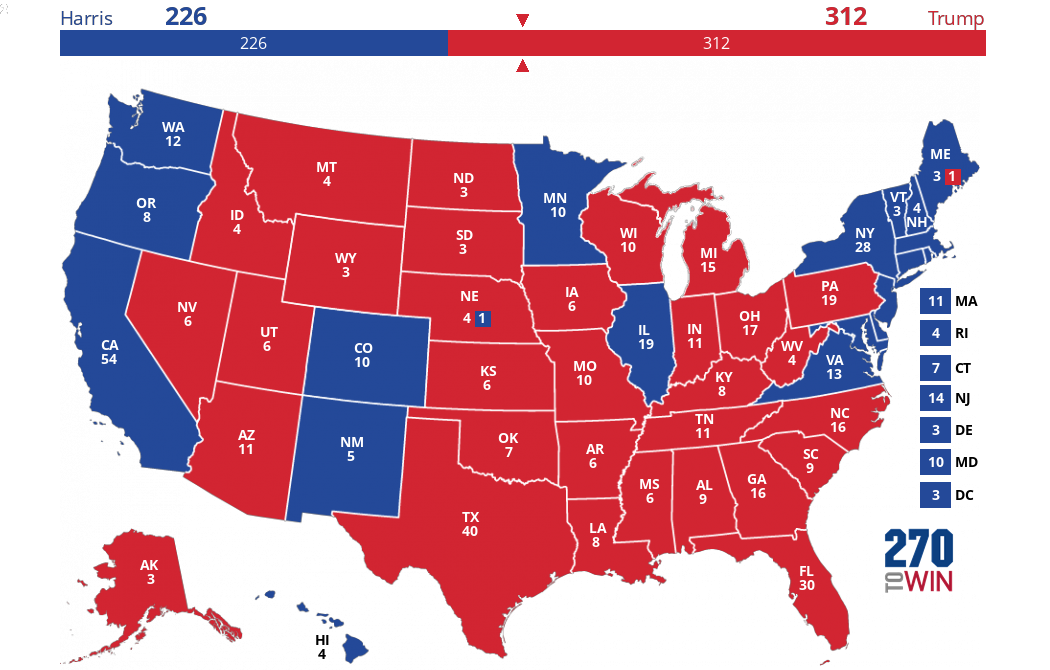
This will occur when a state has split its electoral votes in the map. If the split occurred between two candidates, the color of the box will be associated with the party receiving fewer electoral votes. If the split occurred between three or more candidates, the color of the box will be green and will aggregate the electoral votes of all candidates except the one receiving the most electoral votes.
A table below the map will show the exact distribution of electoral votes.
The color of the state itself, and the associated number will be associated with the candidate/party that received the most electoral votes2 in that state.
How do I split a state’s electoral votes?
== In both cases outlined below, the ‘Total’ must equal the available electoral votes (next to the state abbreviation in the table) to update the map.==
If a state has an actual historical split, use the table below the map to modify it. When finished, select the Update button.
To split another state, use the Add State box to select it. Allocate as desired, then select the Update button.
How do I eliminate a state split?
To eliminate a state split, select the Remove button. If there is a numerical split at the time you remove it, the state will become undecided. It can then be rotated through party types as any other state.
It is possible to update a state split by assigning all the electoral votes to a single party. In that case, subsequently selecting the Remove button will retain that party selection and make the state rotatable on the map.
How do I save my map?
If the device has cookies enabled, the map should retain its settings on future visits. Use the Reset Map button to return to historical actual.
How are the electoral votes to win calculated?
For each election, this represents the whole number needed to earn a majority of electoral votes available. We calculate this by taking the total electoral votes available and dividing by 2. If the result is a whole number, one is added otherwise we round up to the next whole number.
A candidate having the winning number of electoral votes will have a check mark by the name.
I have another question not answered here
1 In some elections, a small number of electoral votes were cast for other people or not cast at all. There have been a variety of reasons, from faithless Electors to errors to death of Electors. These votes will not show on the map or in the candidate distribution above the map. However, they will be available in the table below the map, in the ‘Other’ column, and can be allocated to a candidate. If allocated, they will then be treated like any other electoral vote.
2 To be more precise, the initial (actual history) color setting of the state will be determined by the candidate that won the popular vote in the state that year (if available). In almost all cases, this is the same as the candidate that received the most electoral votes. Any states split (or existing split states modified) by the user will follow the majority rule outlined in the answer to the question.

